![[Map of 1950-2017 CONUS Hurricane Strikes]](http://www.nhc.noaa.gov/climo/images/conus_strikes.jpg)


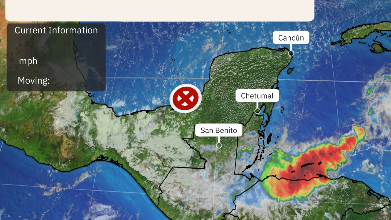
Projected Path with Watches and Warnings

Additional Projected Path Swath
Additional Projected Path Swath

Most Likely Arrival Time of Tropical Storm Force Winds
 Most Reasonable Arrival Time of Tropical Storm Force Winds
 Hurricane Force Wind Probabilities
 Tropical Storm Force Wind Probabilities

Most Reasonable Arrival Time of Tropical Storm Force Winds
Hurricane Force Wind Probabilities
Tropical Storm Force Wind Probabilities
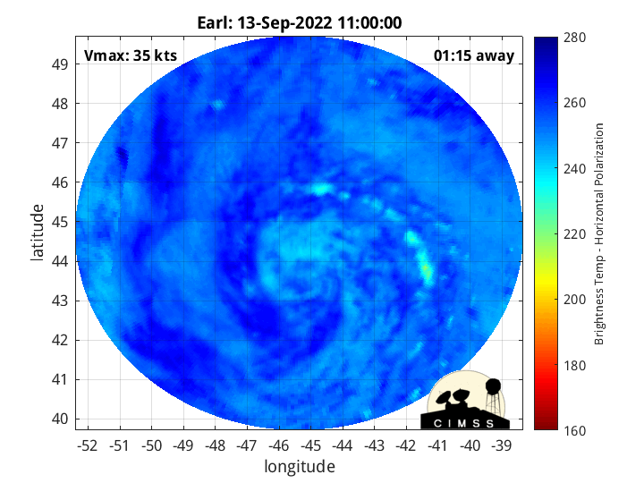
Microwave Imagery


Windshear Around Storm

Dry Air/ Water Vapor Around Storm
Water Temps around Storm

Dry Air/ Water Vapor Around Storm
Water Temps around Storm

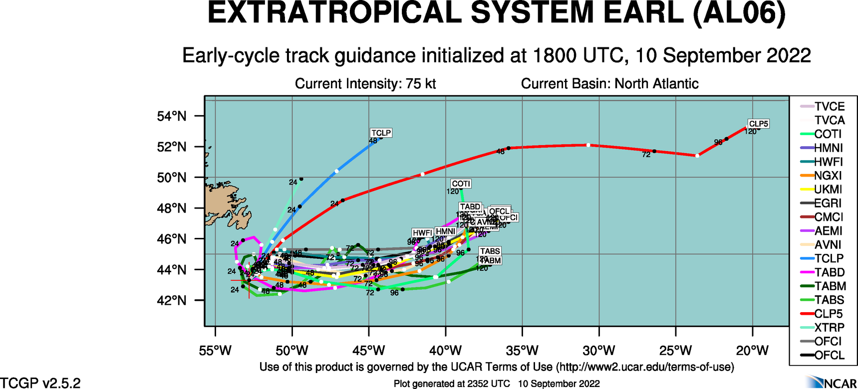
Top Analog Tracks

WeatherNerds.org Floaters
Other Floater Sites:
TropicalTidbits - NRL Floaters - CyclonicWx - RAMMB Sat - RAMMB Model Data - RAMMB Wind Products

|

|

|

|
TropicalTidbits - NRL Floaters - CyclonicWx - RAMMB Sat - RAMMB Model Data - RAMMB Wind Products
Intensity Forecasts
 Model Tracks


 GFS / Canadian Ensemble Tracks

EURO Ensemble Tracks
EPS Ensemble Tracks
Model Tracks
GFS / Canadian Ensemble Tracks
EURO Ensemble Tracks
EPS Ensemble Tracks
2 Day Tropical Weather Outlook
5 Day Tropical Weather Outlook