
SHOW ME SOME LOVE AND SUPPORT
Website: TrackTheTropics.com/DONATE
Venmo: @TrackTheTropicsLouisiana
Cash App: Cash.App/$TrackTheTropics
Subscribe: FB.com/TrackTheTropics
Website: TrackTheTropics.com/DONATE
Venmo: @TrackTheTropicsLouisiana
Cash App: Cash.App/$TrackTheTropics
Subscribe: FB.com/TrackTheTropics

Earn CASH Back On Gas $$$$ 
Shop Store For Essentials
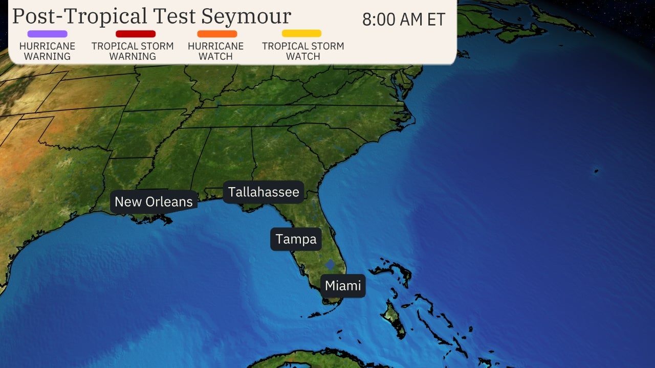
Projected Path with Watches and Warnings

Zoomed In Watches and Warnings
Additional Projected Path Swath


Most Likely Arrival Time of Tropical Storm Force Winds

Most Reasonable Arrival Time of Tropical Storm Force Winds

Hurricane Force Wind Probabilities

Tropical Storm Force Wind Probabilities

Windfield

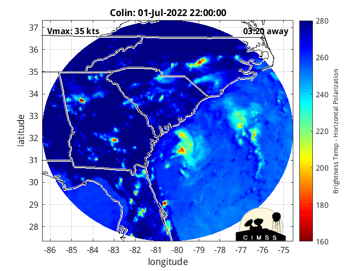
Microwave Imagery
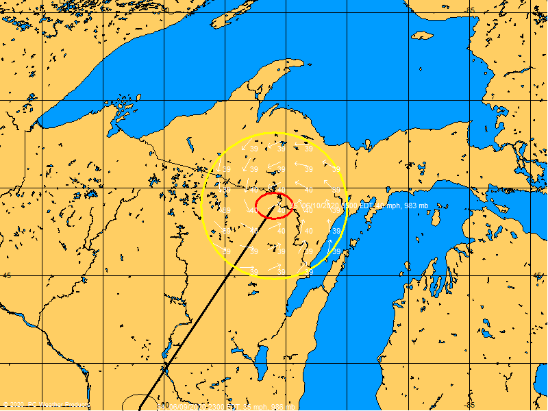
Past Track History


Key Messages

WeatherNerds.org Floaters

|

|

|

|
Radar Loops Nearby

Intensity Forecasts

Model Tracks


GFS / Canadian Ensemble Tracks

EURO Ensemble Tracks
EPS Ensemble Tracks

2 Day Tropical Weather Outlook
5 Day Tropical Weather Outlook