SUPPORT TRACK THE TROPICS
Over the last decade plus if you appreciate the information and tracking I provide during the season along with this website which donations help keep it running please consider a one time... recurring or yearly donation if you are able to help me out...
Venmo: @TrackTheTropicsLouisiana
Website: TrackTheTropics.com/DONATE
Venmo: @TrackTheTropicsLouisiana
Website: TrackTheTropics.com/DONATE

Most Likely Arrival Time of Tropical Storm Force Winds

Most Reasonable Arrival Time of Tropical Storm Force Winds

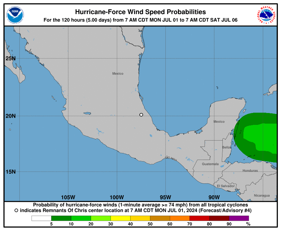
Hurricane Force Wind Probabilities
Tropical Storm Force Wind Probabilities

Microwave Imagery

NOAA NESDIS Floaters


Average Days For System To Reach U.S.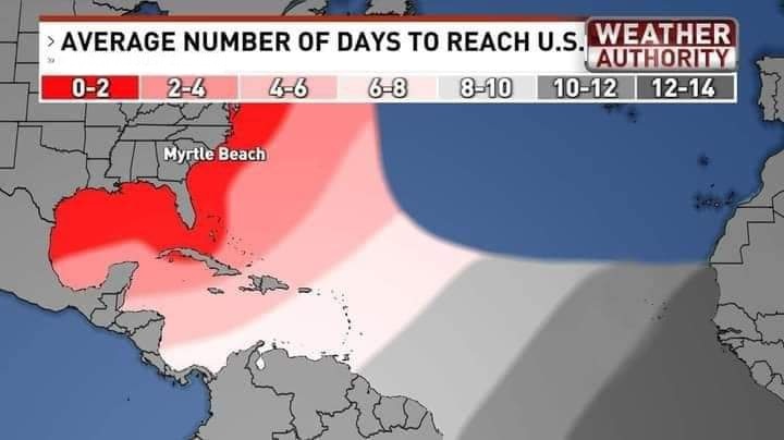
Windshear Around Storm

Dry Air/ Water Vapor Around Storm

Top Analog Tracks

Key Messages

WeatherNerds.org Floaters

|

|

|

|
Intensity Forecasts

Model Tracks


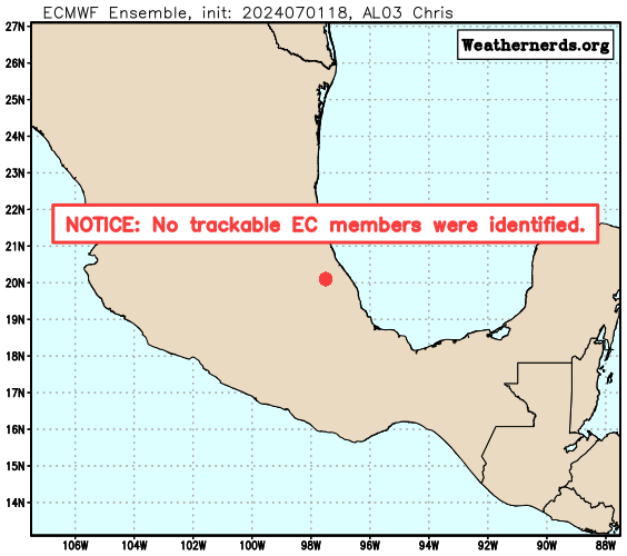
EURO Ensemble Tracks
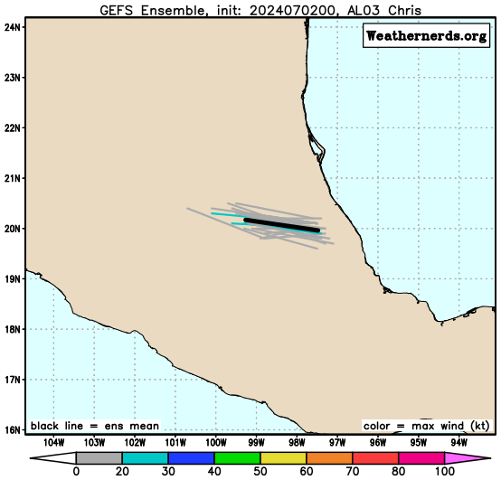
GFS Ensemble Tracks

Invest 94L CMC Ensemble Tracks

2 Day Tropical Weather Outlook
7 Day Tropical Weather Outlook