
2026 Hurricane Season – Track The Tropics – Spaghetti Models

448 Visitors Tracking The Tropics!

Follow On Facebook

Track The Tropics is the #1 source to track the tropics 24/7! Since 2013 the main goal of the site is to bring all of the important links and graphics to ONE PLACE so you can keep up to date on any threats to land during the Atlantic Hurricane Season! Hurricane Season 2026 in the Atlantic starts on June 1st and ends on November 30th. Do you love Spaghetti Models? Well you've come to the right place!! Remember when you're preparing for a storm: Run from the water; hide from the wind!

Earn CASH Back On Gas $$$$ Cash Back On Gas
Shop Store For Essentials2026 Hurricane Season Supplies

Tracking Fay - 2026 Hurricane Season

Projected Path with Watches and Warnings Projected Path with Watches and Warnings
Key Messages Key Messages
Zoomed In Watches and Warnings Projected Path with Watches and Warnings
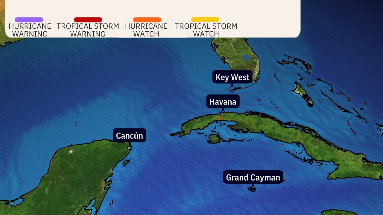
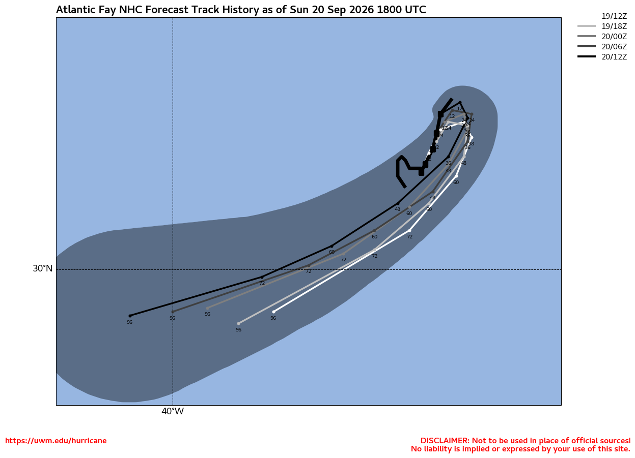
Additional Projected Path Swath Additional Projected Path Swath
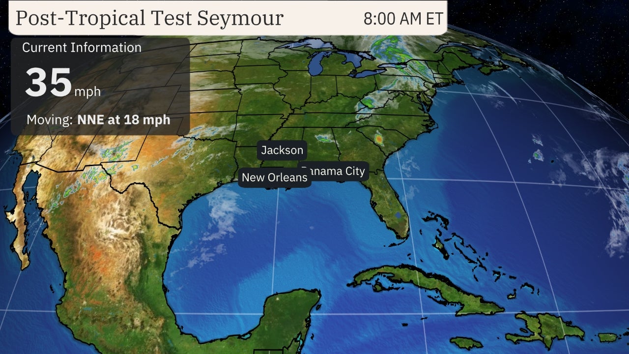
Current Radar of Storm Current Satellite, Radar and Winds
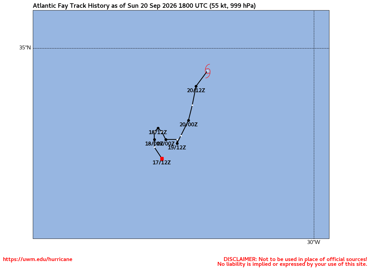
NHC Corrections/ Track History Past Track History
Past Track History ...More From UWM
Current Wind Field Wind Field
Surge Forecast surge
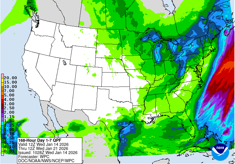
Flash Flood Potential rainfall
Most Likely Arrival Time of Tropical Storm Force Winds Most Likely Arrival Time of Tropical-Storm-Force Winds
Most Reasonable Arrival Time of Tropical Storm Force Winds Most Reasonable Arrival Time of Tropical-Storm-Force Winds
Hurricane Force Wind Probabilities Hurricane Force Wind Probabilities
Tropical Storm Force Wind Probabilities Tropical Storm Force Wind Probabilities
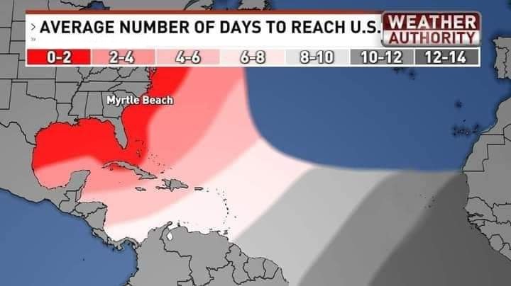
Average Days For System To Reach U.S. Average Days For System To Reach U.S.
NOAA NESDIS Floaters Floater
Floater
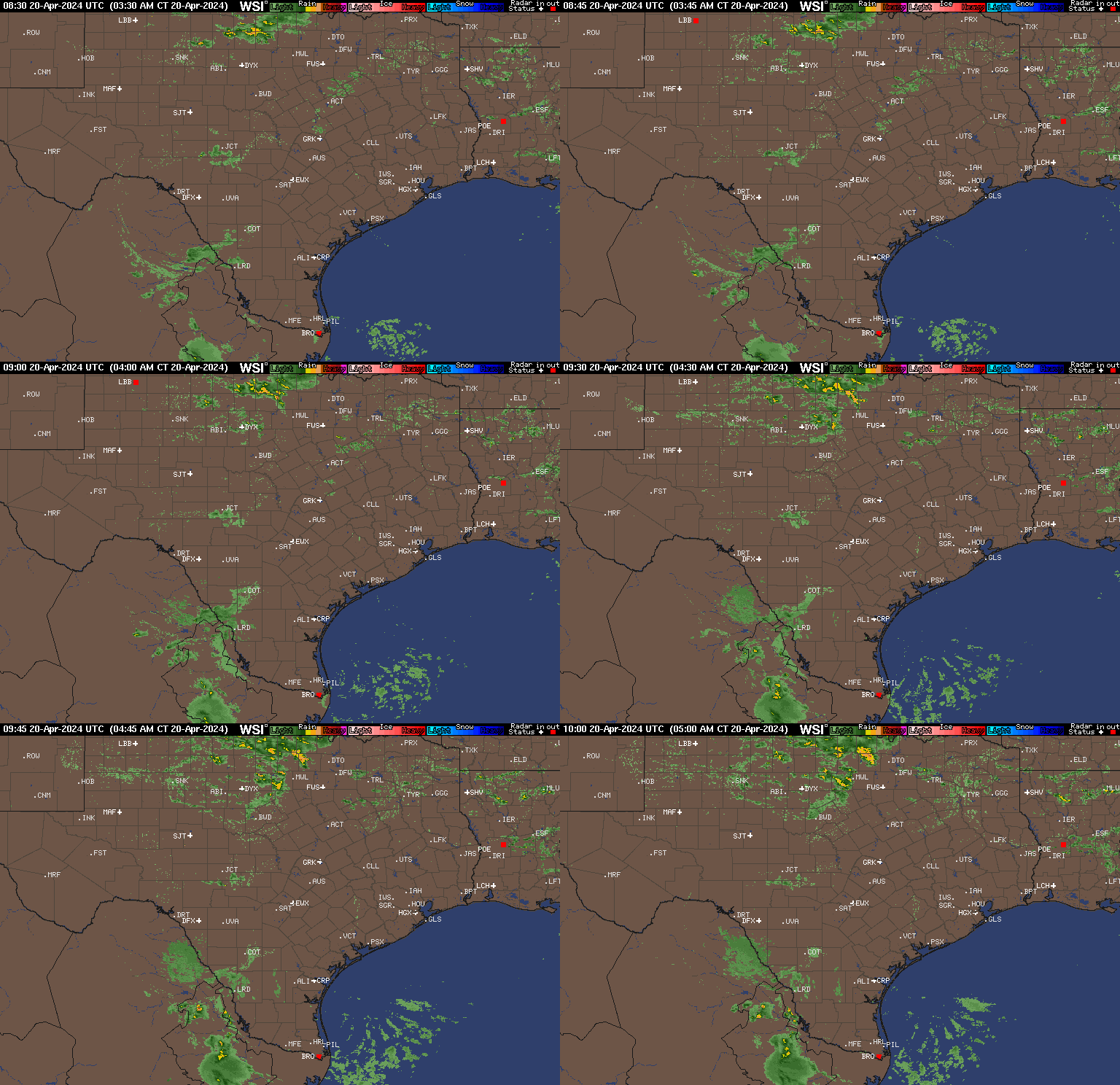
Radar Loops Nearby Radar Loops Near Storm
Radar Loops Near Storm Archived Loops
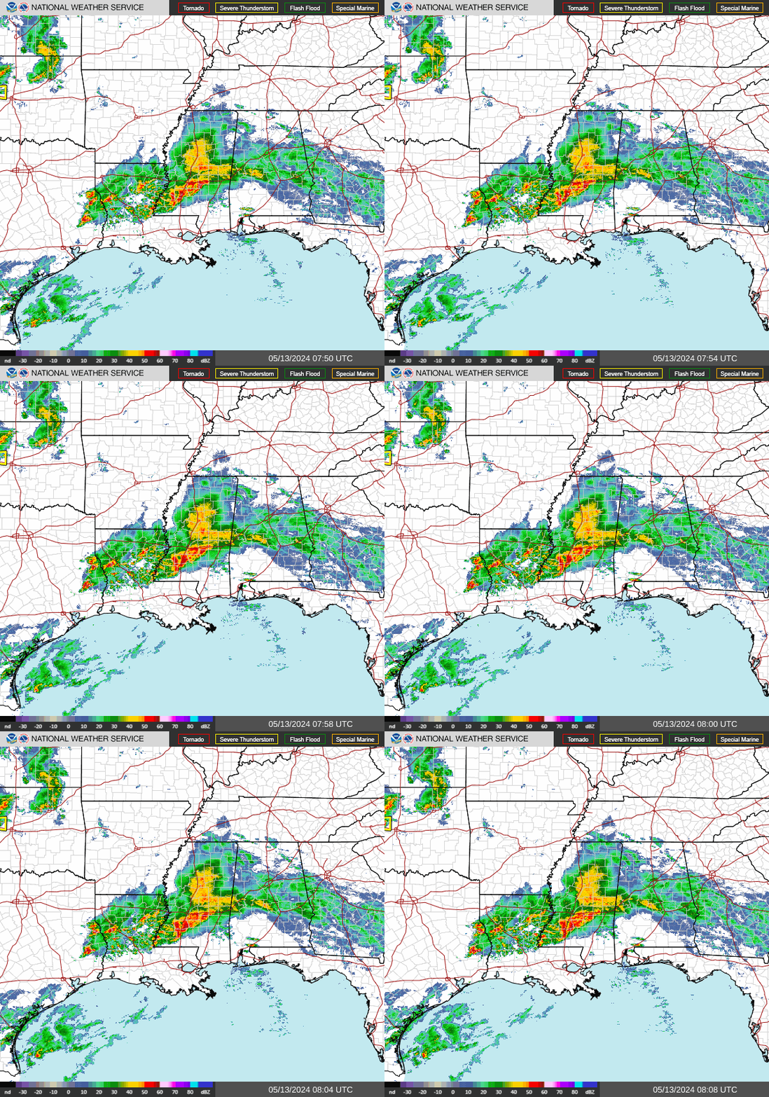
NWS Radar Radar
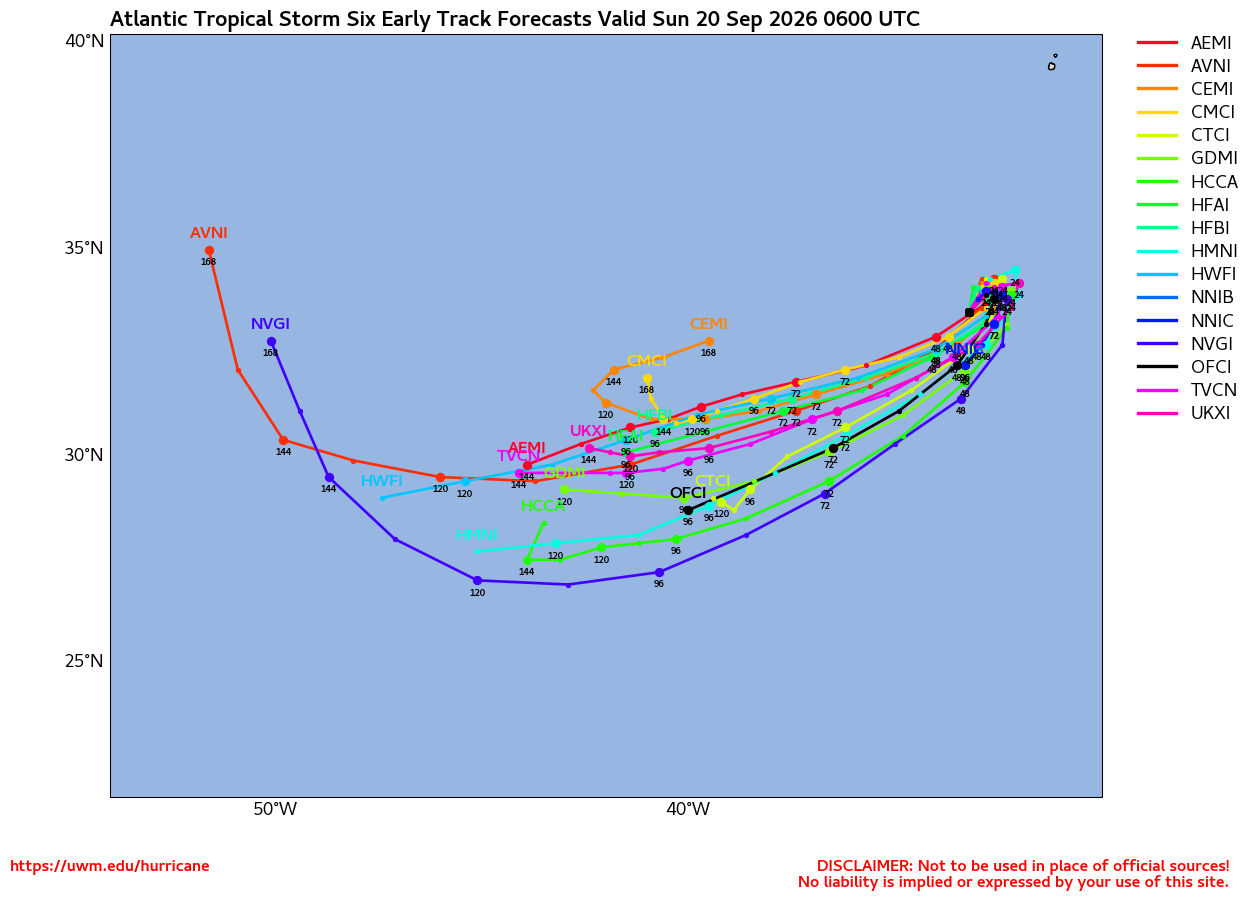
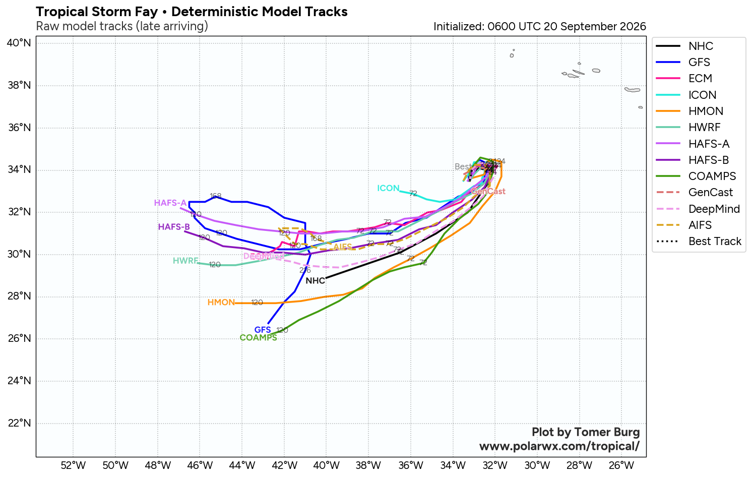
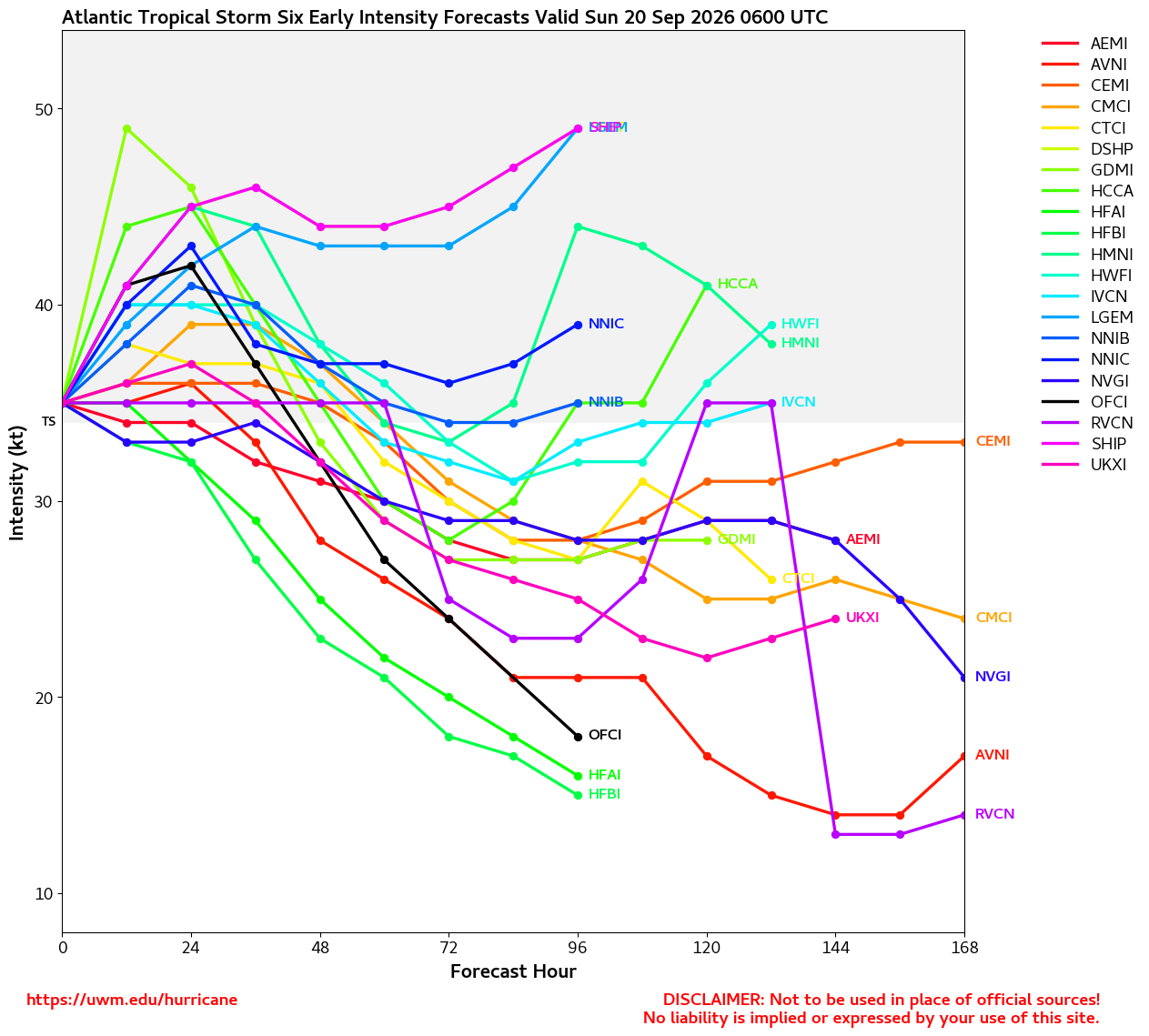
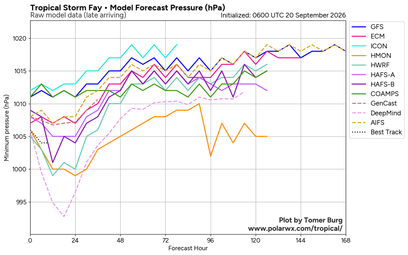
Latest Model Tracks
...More From NCAR
EURO Ensemble Tracks EURO/GFS Ensembles from WeatherNerds
GFS Ensemble Tracks EURO/GFS Ensembles from WeatherNerds
...More From WeatherNerds
Sea Surface Temps Around Storm Water Vapor
...More From CyclonicWX
Microwave Imagery Microwave Imagery
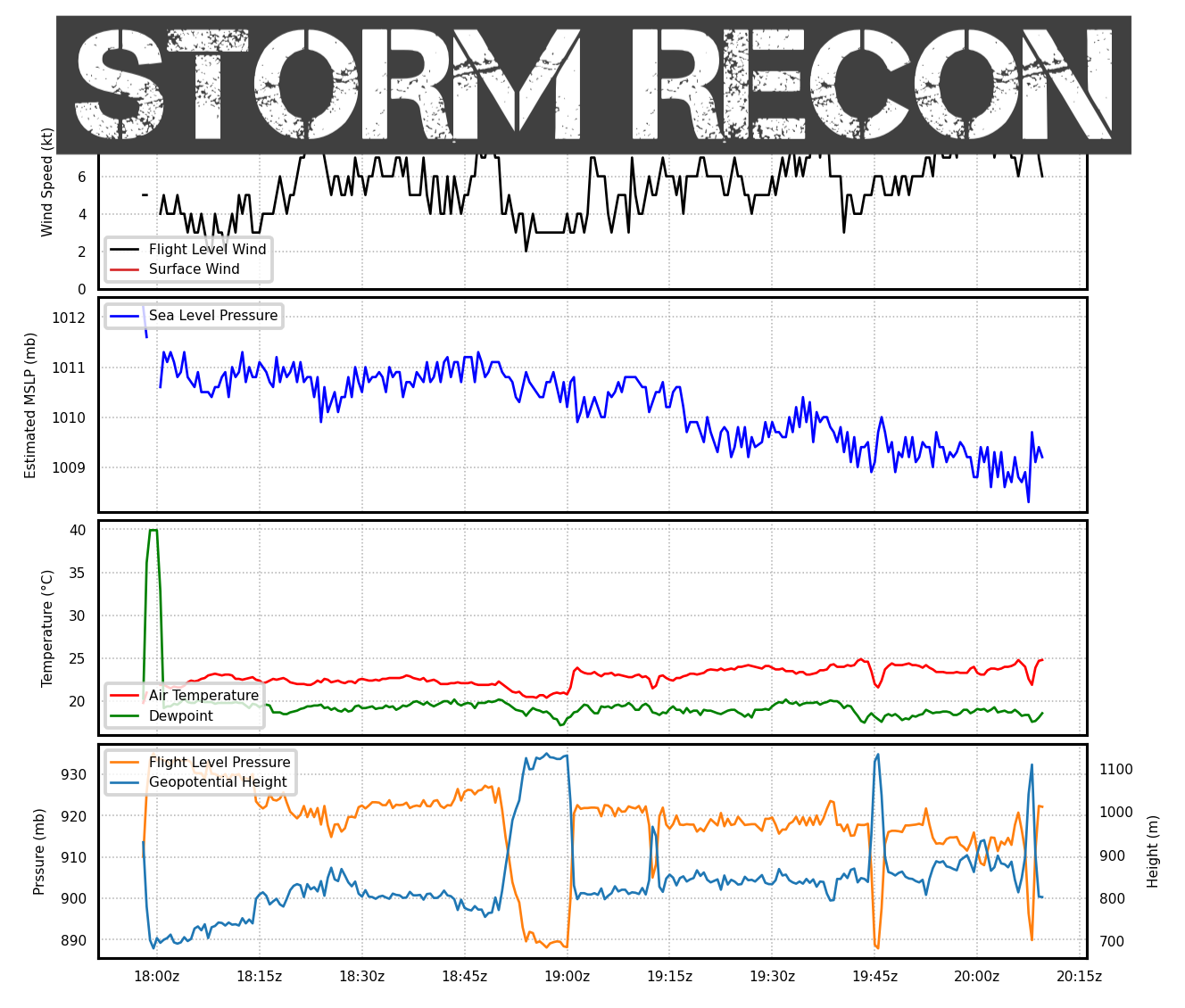
Storm Recon
SPC Watches and Warnings Power Outages
LIVE Power Outage Map Power Outages
Top Analog Tracks Top Analog Tracks
Windshear Around Storm Windshear
NHC Public Advisory
  • Sun, 20 Sep 2026 14:55:55 +0000: Atlantic Tropical Storm Fay Advisory Number 5 - Atlantic Tropical Storm Fay Advisory Number 5
    000
    WTNT31 KNHC 201455
    TCPAT1

    BULLETIN
    Tropical Storm Fay Advisory Number 5
    NWS National Hurricane Center Miami FL AL062026
    300 PM GMT Sun Sep 20 2026

    ...TROPICAL STORM FAY STRENGTHENS AS IT MOVES TOWARDS THE
    NORTHEAST...


    SUMMARY OF 300 PM GMT...1500 UTC...INFORMATION
    ----------------------------------------------
    LOCATION...34.1N 33.0W
    ABOUT 430 MI...690 KM SW OF THE AZORES
    MAXIMUM SUSTAINED WINDS...60 MPH...95 KM/H
    PRESENT MOVEMENT...NE OR 40 DEGREES AT 3 MPH...6 KM/H
    MINIMUM CENTRAL PRESSURE...1004 MB...29.65 INCHES


    WATCHES AND WARNINGS
    --------------------
    There are no coastal watches or warnings in effect.


    DISCUSSION AND OUTLOOK
    ----------------------
    At 300 PM GMT (1500 UTC), the center of Tropical Storm Fay was
    located near latitude 34.1 North, longitude 33.0 West. Fay is moving
    toward the northeast near 3 mph (6 km/h) and this motion is expected
    to continues through the rest of the day. Afterwards a turn to the
    southwest is expected on Monday.

    Maximum sustained winds have increased to near 60 mph (95 km/h)
    with higher gusts. Additional strengthening is expected during the
    next day or so, and Fay could approach hurricane intensity tonight.
    A gradual weakening trend is expected to begin on Monday.

    Tropical-storm-force winds extend outward up to 45 miles (75 km)
    from the center.

    The estimated minimum central pressure is 1004 mb (29.65 inches).


    HAZARDS AFFECTING LAND
    ----------------------
    None


    NEXT ADVISORY
    -------------
    Next complete advisory at 900 PM GMT.

    $$
    Forecaster Katz/Pasch
NHC Forecast Advisory
  • Sun, 20 Sep 2026 14:55:24 +0000: Atlantic Tropical Storm Fay Forecast/Advisory Numb... - Atlantic Tropical Storm Fay Forecast/Advisory Number 5
    000
    WTNT21 KNHC 201455
    TCMAT1

    TROPICAL STORM FAY FORECAST/ADVISORY NUMBER 5
    NWS NATIONAL HURRICANE CENTER MIAMI FL AL062026
    1500 UTC SUN SEP 20 2026

    TROPICAL STORM CENTER LOCATED NEAR 34.1N 33.0W AT 20/1500Z
    POSITION ACCURATE WITHIN 20 NM

    PRESENT MOVEMENT TOWARD THE NORTHEAST OR 40 DEGREES AT 3 KT

    ESTIMATED MINIMUM CENTRAL PRESSURE 1004 MB
    MAX SUSTAINED WINDS 50 KT WITH GUSTS TO 55 KT.
    34 KT....... 40NE 40SE 0SW 0NW.
    4 M SEAS.... 60NE 0SE 0SW 0NW.
    WINDS AND SEAS VARY GREATLY IN EACH QUADRANT. RADII IN NAUTICAL
    MILES ARE THE LARGEST RADII EXPECTED ANYWHERE IN THAT QUADRANT.

    REPEAT...CENTER LOCATED NEAR 34.1N 33.0W AT 20/1500Z
    AT 20/1200Z CENTER WAS LOCATED NEAR 34.0N 33.1W

    FORECAST VALID 21/0000Z 34.3N 32.6W
    MAX WIND 60 KT...GUSTS 75 KT.
    50 KT... 10NE 10SE 0SW 0NW.
    34 KT... 40NE 50SE 20SW 30NW.

    FORECAST VALID 21/1200Z 33.9N 32.4W
    MAX WIND 50 KT...GUSTS 60 KT.
    34 KT... 40NE 30SE 20SW 30NW.

    FORECAST VALID 22/0000Z 32.9N 32.9W
    MAX WIND 45 KT...GUSTS 55 KT.
    34 KT... 30NE 20SE 20SW 20NW.

    FORECAST VALID 22/1200Z 31.7N 34.2W
    MAX WIND 35 KT...GUSTS 45 KT.
    34 KT... 20NE 10SE 0SW 20NW.

    FORECAST VALID 23/0000Z 30.6N 35.9W...POST-TROP/REMNT LOW
    MAX WIND 30 KT...GUSTS 40 KT.

    FORECAST VALID 23/1200Z 29.8N 37.7W...POST-TROP/REMNT LOW
    MAX WIND 25 KT...GUSTS 35 KT.

    EXTENDED OUTLOOK. NOTE...ERRORS FOR TRACK HAVE AVERAGED NEAR 125 NM
    ON DAY 4 AND 175 NM ON DAY 5...AND FOR INTENSITY NEAR 15 KT EACH DAY

    OUTLOOK VALID 24/1200Z 28.8N 41.1W...POST-TROP/REMNT LOW
    MAX WIND 25 KT...GUSTS 35 KT.

    OUTLOOK VALID 25/1200Z...DISSIPATED

    REQUEST FOR 3 HOURLY SHIP REPORTS WITHIN 300 MILES OF 34.1N 33.0W

    NEXT ADVISORY AT 20/2100Z

    $$
    FORECASTER KATZ/PASCH
NHC Discussion
  • Sun, 20 Sep 2026 14:56:20 +0000: Atlantic Tropical Storm Fay Discussion Number 5 - Atlantic Tropical Storm Fay Discussion Number 5
    000
    WTNT41 KNHC 201456
    TCDAT1

    Tropical Storm Fay Discussion Number 5
    NWS National Hurricane Center Miami FL AL062026
    300 PM GMT Sun Sep 20 2026

    Deep convection continues to build near the center of Fay over the
    last several hours. The current objective intensity estimates from
    UW-CIMSS are in the range of 39-52 kt, and the most recent TAFB
    Dvorak fix was a T3.0/45 kt. In addition, there was an ASCAT pass
    that showed a peak wind vector of 43 kt. Given the uncertainties
    due to undersampling, the initial intensity for the storm has been
    raised to 50 kt. The cyclone continues to remain very compact with
    its tropical-storm-force winds estimated to extend out to about 40
    n mi.

    Both a relatively moist environment and positive interactions
    with an approaching mid- to upper-level trough should allow Fay to
    further intensify for the next 12 to 24 hours. After the trough
    lifts on Monday, the increase in wind shear and dry air should lead
    to a gradual weakening of the cyclone. The current NHC forecast
    calls for Fay to become a post-tropical remnant low by Tuesday and
    then dissipate by the end of the week. The official intensity
    forecast is a little higher than the model guidance in the short
    term to account for the storm's structure being more improved and
    the expected baroclinic support from the trough. This small system
    could approach hurricane strength later today or tonight.

    Fay is slowly moving off to the northeast, with the initial motion
    estimated around 010/5 kt. This general motion should continue for
    the rest of the day. However, a low- to mid-level ridge is expected
    to build to the north of the storm by Monday, which will cause Fay
    to turn southwestward and gradually accelerate in that direction
    over the course of the forecast period. The current NHC track
    forecast is similiar to the previous track forecast with a few
    minor adjustments and remains in good agreement with HCCA and
    GDMI.


    FORECAST POSITIONS AND MAX WINDS

    INIT 20/1500Z 34.1N 33.0W 50 KT 60 MPH
    12H 21/0000Z 34.3N 32.6W 60 KT 70 MPH
    24H 21/1200Z 33.9N 32.4W 50 KT 60 MPH
    36H 22/0000Z 32.9N 32.9W 45 KT 50 MPH
    48H 22/1200Z 31.7N 34.2W 35 KT 40 MPH
    60H 23/0000Z 30.6N 35.9W 30 KT 35 MPH...POST-TROP/REMNT LOW
    72H 23/1200Z 29.8N 37.7W 25 KT 30 MPH...POST-TROP/REMNT LOW
    96H 24/1200Z 28.8N 41.1W 25 KT 30 MPH...POST-TROP/REMNT LOW
    120H 25/1200Z...DISSIPATED

    $$
    Forecaster Katz/Pasch
2 Day Tropical Weather Outlook Atlantic 2 Day GTWO graphic
7 Day Tropical Weather Outlook Atlantic 7 Day GTWO graphic
Share this page